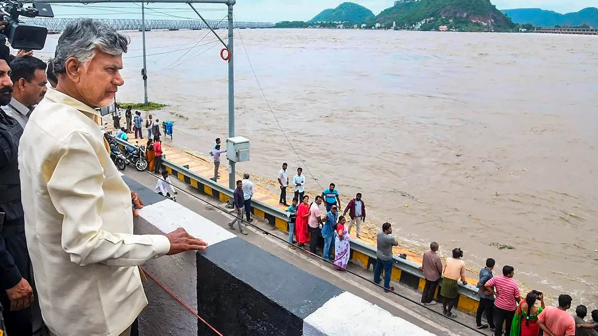
Budameru inflow reduced, flood expected to recede in Vijayawada: Naidu
Andhra Pradesh c on Monday said flood waters in Vijayawada could recede from all places by evening and noted that inflow into the Budameru rivulet have reduced to some extent. Torrential rains in the wake of a depression in the Bay of Bengal and inflow from the swollen Budameru rivulet caused havoc in Vijayawada, resulting in flooding in many parts. The Chief Minister held a teleconference with officials to review flood relief work and also to take stock of the rain situation in some districts. “Flood inflows to Budameru have reduced to some extent.
By today (Monday) evening, almost all places (Vijayawada) will be free from waterlogging,” said Naidu in an official press release. A resident of Ajit Singh Nagar, one of the worst-affected areas, who returned to Vijayawada from Hyderabad on Monday morning, told PTI that flood water had receded from the locality. Directing officials to make use of drones for flood relief where people and vehicles cannot go, the CM said they should also be used to monitor the banks of water bodies and inflows. He further said that power had been restored in Vijayawada, except for a few houses in Vijayawada and urged officials to ensure that no contagious diseases broke out.
He called for continuation of medical camps in the flood-hit areas, along with the restoration of telecom signals in the remaining five towers. Meanwhile, Naidu spoke with the Collectors of Srikakulam, Vizianagaram, Visakhapatnam, Kakinada, Eluru and East Godavari districts, which were receiving heavy rains under the influence of a deep depression in the Bay of Bengal. Issuing guidelines, the CM said drones should be used to identify breach points in Erra Kaluva (canal) which is in spate, among other water bodies.
The Meteorological Department said the deep depression over northwest and adjoining west-central Bay of Bengal moved nearly north-northwest and lay centred over the northwestern part of the sea, about 260 km east to northeast of Kalingapatnam. The weather system is expected to maintain its intensity and move across Odisha to gradually weaken into a depression late on Monday night. Under the influence of the deep depression, parts of the state are likely to receive heavy to very heavy rain, especially north coastal Andhra Pradesh, Yanam and south coastal Andhra Pradesh (SCAP) on Monday and Tuesday.
 English daily published in Bengaluru & Doha


